By Greg Allan, tradesman and creator of Data First Coaching
Does a drone actually save time on a survey job?
A drone can cut the time spent walking a boundary or capturing a contour survey, gathering points across a subdivision faster than a field crew working with GPS gear alone. But speed on site does not automatically turn into more billable hours. The imagery still has to be processed, the points still have to be checked against the title and existing cadastral marks, and the plan or report still has to be drafted before it goes to the council, developer or builder.
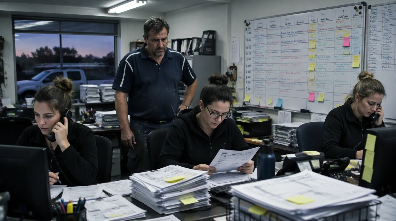
For many surveying businesses, the hours saved in the field simply move into the office. The drafter now spends longer stitching imagery and matching it to the plan. The job looks faster on site but takes a similar number of paid hours across the week, just shifted from one task to another.
Where does the real cost of a drone show up in a surveying business?
The licence to operate, batteries, processing software, insurance, and the time spent learning to fly and manage the data are overheads that sit inside every job's margin whether or not the drone was flown that week. These costs need to be recovered inside the quoted margin, the same as vehicle running costs or instrument calibration already are.
If a boundary survey, detail survey or set out is quoted without any adjustment for this new overhead, gross profit margin on every job quietly narrows. A surveyor who buys a drone because it looks faster, without checking what it adds to the cost base of each job, can end up doing more work for the same return.
How do you know if a drone will lift your billable hours?
The number that tells the truth is billable hours divided by actual hours on the job, tracked week by week across your field crew and drafting team, before and after the drone comes in. This is the figure that shows whether the time saved capturing a contour survey or an as-built actually turns into more paid work, rather than just a feeling that things moved quicker.
Memory is unreliable here. An owner might feel that site visits are faster with the drone, without noticing that processing time in the office has grown to match. A baseline, taken from your own job data before you buy, is the only way to see whether the change is real or just a change in where the hours sit.
What happens to the time a drone saves?
Time saved only becomes extra profit if it gets filled with another billable job in the same paid day. A drone that halves the time needed to capture a detail survey only pays for itself if that freed time goes onto a second job, not if the field crew simply finishes earlier for the same day rate.
Picture a surveyor who can capture a contour survey for a subdivision in half the usual time with a drone, but the crew then spends the rest of the afternoon back at the office waiting on the next job to be confirmed, or doing drafting that was always going to happen anyway. The drone did its job. The business did not get any more billable hours out of the day because of it.
Can AI agents handle the office work a drone creates?
An AI agent is software that does a job the way you would, with your prices, wording and rules, and for a surveying business it can take on some of the non-billable work a drone adds rather than letting it eat into billable hours. That might mean matching processed imagery to field notes, or turning site data into a client report written the way your business always writes it.
AI agents working data first, from your own job and finance numbers, can free a drafter to spend more time on billable plan preparation instead of file handling. The point is not the drone itself, it is whether the office work it creates gets absorbed into non-billable time or handled another way, so your field crew's extra speed actually shows up in more completed jobs.
Should a surveying business buy off the shelf drone software or build its own systems?
Some off the shelf processing and reporting tools suit a surveying business well, and your own data is what shows which ones earn their place. A surveyor doing mostly boundary and title work with a small field crew has different needs to one running subdivisions and set outs for several builders at once.
Instead of renting the same processing and reporting tools built for every surveying business at once, an owner can choose to have systems shaped around how their own jobs run, how their council and developer clients buy, and how their crew actually works a site. That is a choice about fit, not a promise that it will cost less.
How does Data First Coaching approach this?
Data First Coaching starts from the surveying business's own numbers, not from the drone. Greg Allan looks first at billable hours against actual hours on current jobs, and at where gross profit margin sits once every overhead, including anything like a drone, is accounted for in the quote. That is how the Trade Business Intelligence finds whether a drone purchase would lift billable capacity or just move the same hours around.
The how, including what to check before buying and what to do with the time it frees, is worked through inside the Academy, with members. The Academy is for surveyors who are open minded, innovative and willing to share what they learn, because the Trade Business Intelligence is powered by every member, for every member.